Hohentauern Tour
partially opened Motor sport · Gröbminger Land
Aktualny warunek
14/11/2024 - 20/05/2025
The Sölkpass has been closed in winter since 14.11.2024. It is possible to drive from Stein/Enns to the village of St. Nikolai!
Informacje o wycieczce
Trasa: 178.4 km
Okres obowiązywania: 03:30 h
Wejście: 3338 m
Zejście: 3338 m
Najlepsza pora roku
Styczeń
Luty
Marzec
Kwiecień
Maj
Czerwiec
Lipiec
Sierpień
Wrzesień
Październik
Listopad
Grudzień
Wycieczka
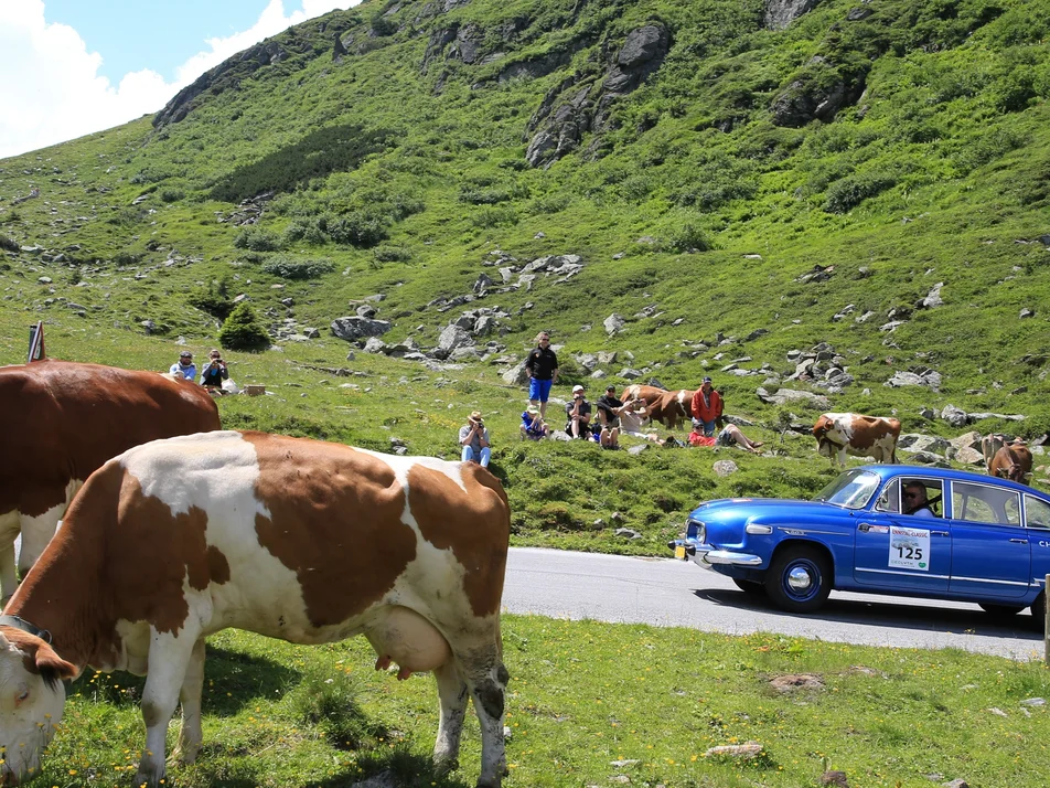
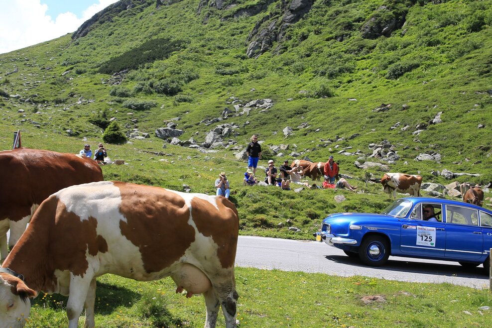
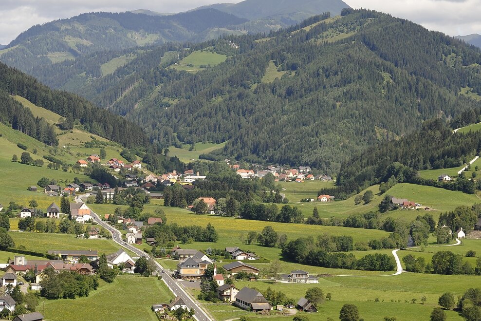
The rivers Enns and Mur have one thing in common. Both originate from the same mountain range. The Upper Ennstal and the Upper Murtal, both running from west to east, almost parallel to each other, separated only by the primary rock heights of the Niederen Tauern, have always had a certain affinity. These traces of the ENNSTAL CLASSIC on the Steirische Holzstraße and above the Triebener Tauern are lined with places steeped in history.
Dalsze informacje
Opis drogi
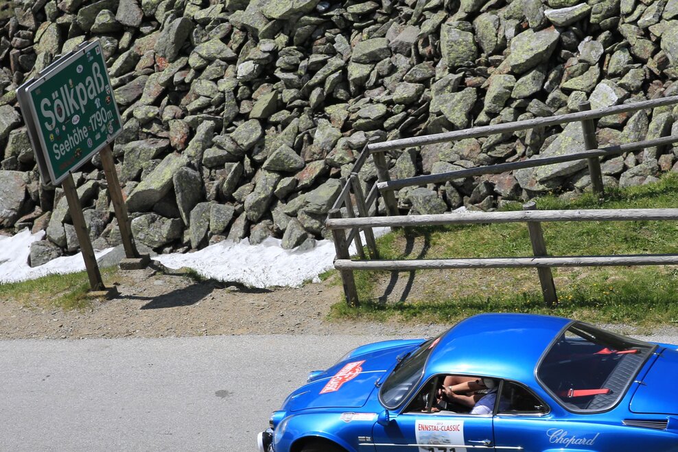
The Hohentauern Round takes you from Gröbming on the L 712 via Moosheim and Stein an der Enns to Aigen in the Ennstal. Then turn off to Oppenberg - Strechau - Trieben - Hohen Tauern - Oberzeiring (L514) - Gellsee - Schönberg Lachtal - St. Peter am Kammersberg - Schöder - Sölkpass - St. Nikolei - Stein an der Enns - Gröbming.
Start
Centre of Gröbming
Cel
Centre of Gröbming
Equipment
The provisions of the Austrian Road Traffic Regulations apply to the entire route.
Compliance with the road traffic regulations and all other statutory provisions shall have absolute priority at all times.
Wskazówki autorów
- Oppenberg
- Burg Strechau - Automobile museum
Dalsze informacje i linki
Prognoza pogody
Wybierz datę
Rather sunny weather during the day with clouds mainly in the morning and towards the evening
Sunny and cloudy periods will alternate throughout the day.
Mostly cloudy with sunny spells, rainshowers mainly in the afternoon and evening.
