Alm Stroll

Tour description
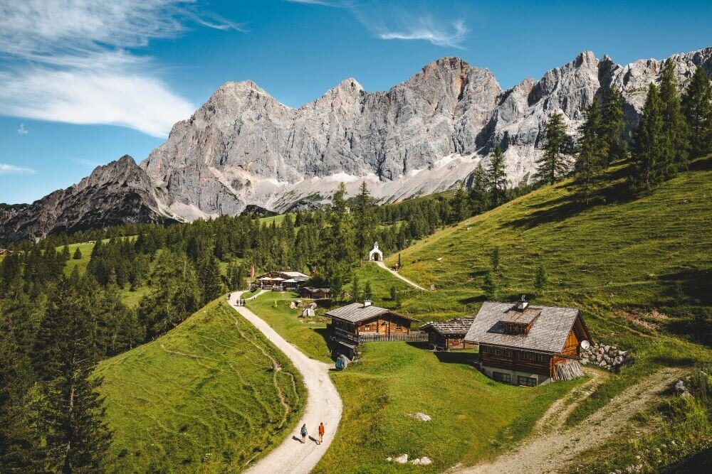
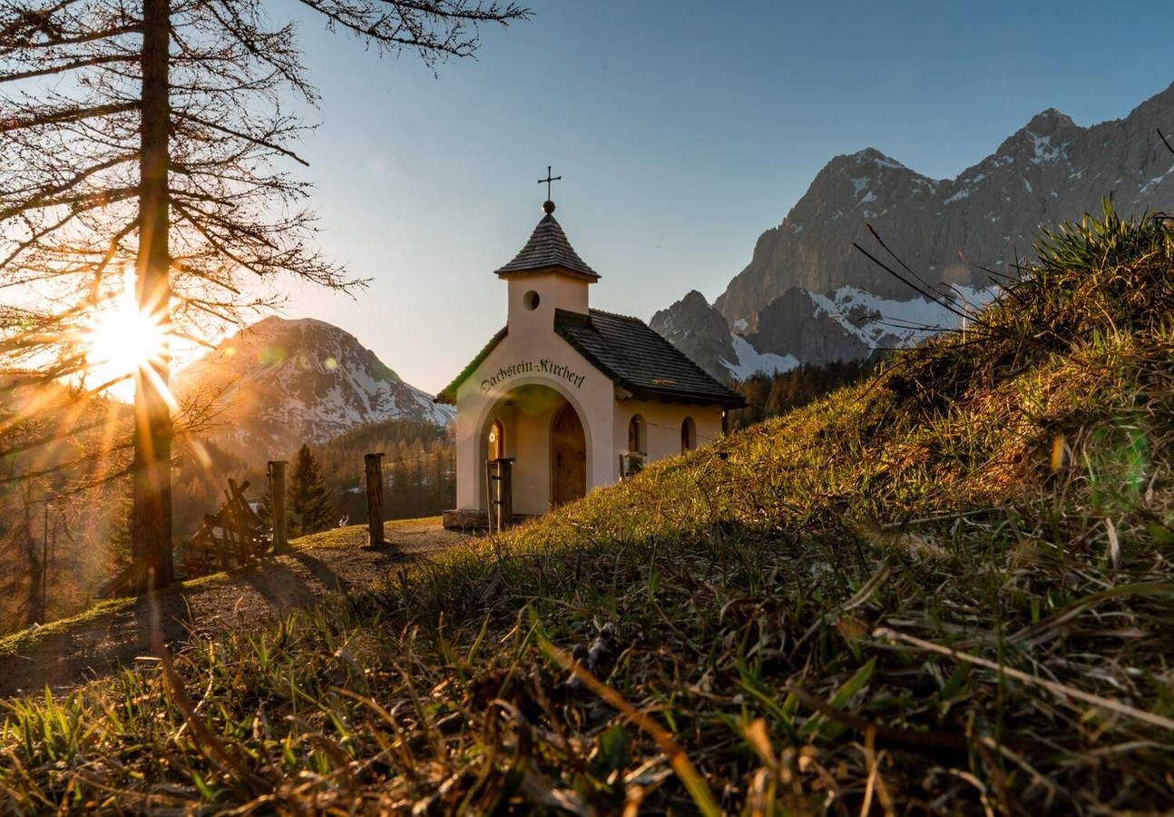
Just a few minutes above is the Brandriedel viewpoint, where you can enjoy the magnificent view down to the Ramsau plateau, the imposing panorama of the Dachstein's south faces, and the Schladminger Tauern mountains opposite from a scenic bench. Returning to the Austriahütte, you then hike down to the Brandalm with the Dachstein Chapel and the mountaineers' memorial, which commemorates climbers who lost their lives on the Dachstein. Finally, the wide alpine path leads back up to the Hotel Türlwand.
The tour
Map, elevation profile & further information
From Hotel Türlwand, follow path no. 6 slightly downhill through a larch forest and alpine pastures, to the Austriahütte.
Walk up to the hilltop Brandriedel (approx. 10 min). From Brandriedel, make your way back down to Austriahütte. Follow a path to the left to Brandalm. From there, walk along the wide Five-Huts Trail back to Hotel Türlwand.
From the west: Tauern Autobahn (A 10) to Knoten Ennstal - turnoff direction Graz/Schladming - stay on the Ennstal-Bundesstraße (B320) for approx. 20 km until Schladming - take the turnoff for Ramsau.
From the north: Pyhrn Autobahn (A 9) direction Liezen - take the Ennstal-Bundesstraße (B320) to Schladming - turnoff Ramsau.
Continue across the Ramsau plateau to the Dachsteinstraße junction. Take the toll road to the valley station of the Dachstein Glacier cable car. This is the starting point.
Congress Center Ramsau or Dachstein Gondola's bottom station (Toll road).
The best way to reach the starting point of the hike is by taking bus line 960 from Schladming town center or train station, or from Ramsau village. Take the bus to the final stop – the Dachstein Gletscherbahn bus stop atHotel Türlwand.
See the timetables HERE
Hiking map Schladming-Dachstein, 1:50,000, available in the information offices
Hiking guide Schladming-Dachstein by Herbert Raffalt (available only in German), available in the information offices


