Freienstein Circular Trail
Tour description
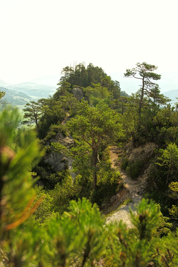
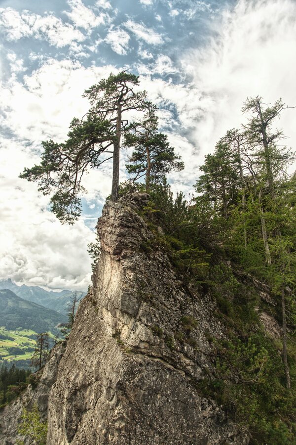
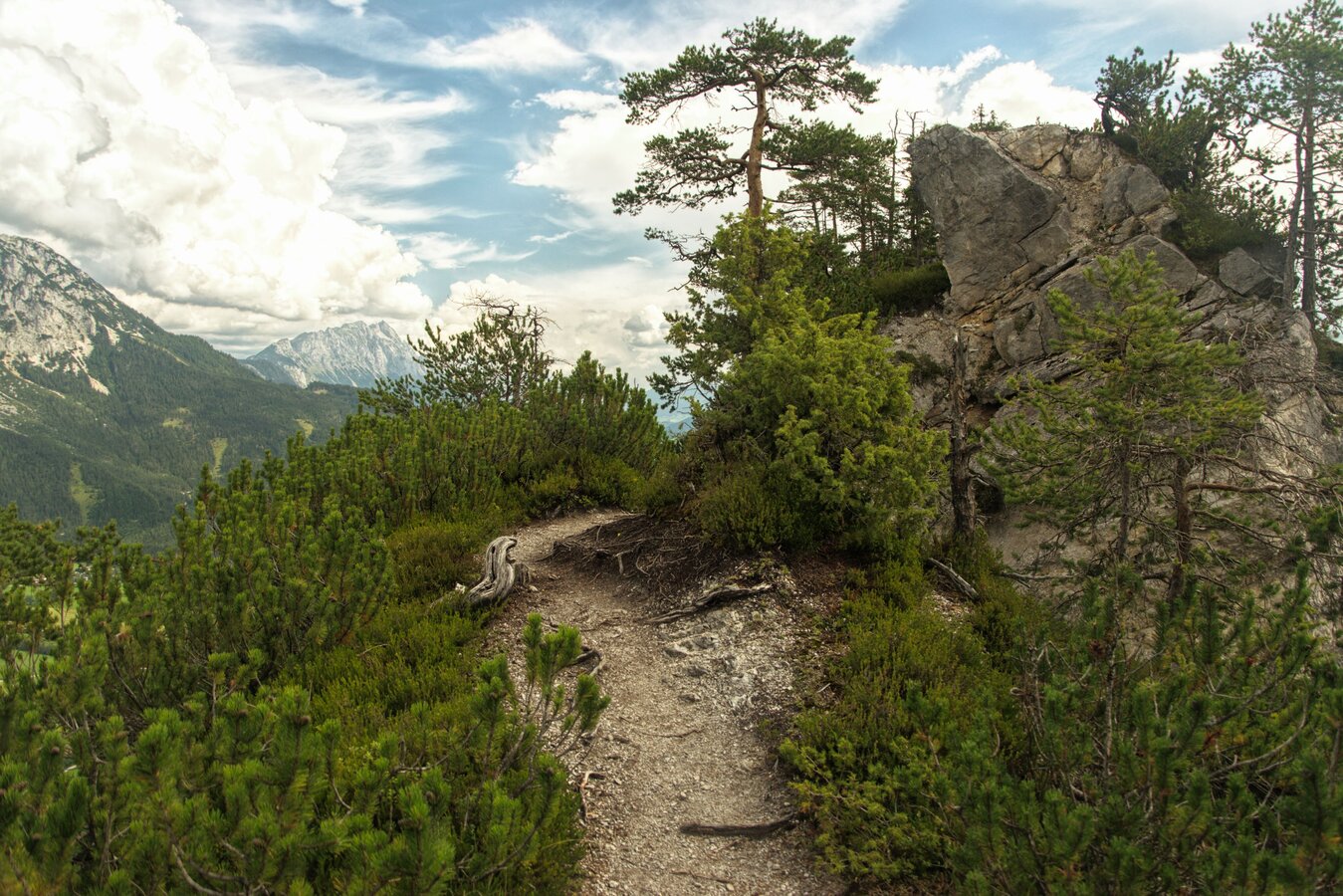
At the beginning, Path no. 12 leads through the western part of the adventure park. Then it continues steeply uphill until reaching a wider path. It leads slightly uphill past the Goaßsteig entrance up to the next crossroad. From there, follow path no. 679 on the right towards Freienstein. The path at this level is only suitable for experienced mountain climbers.
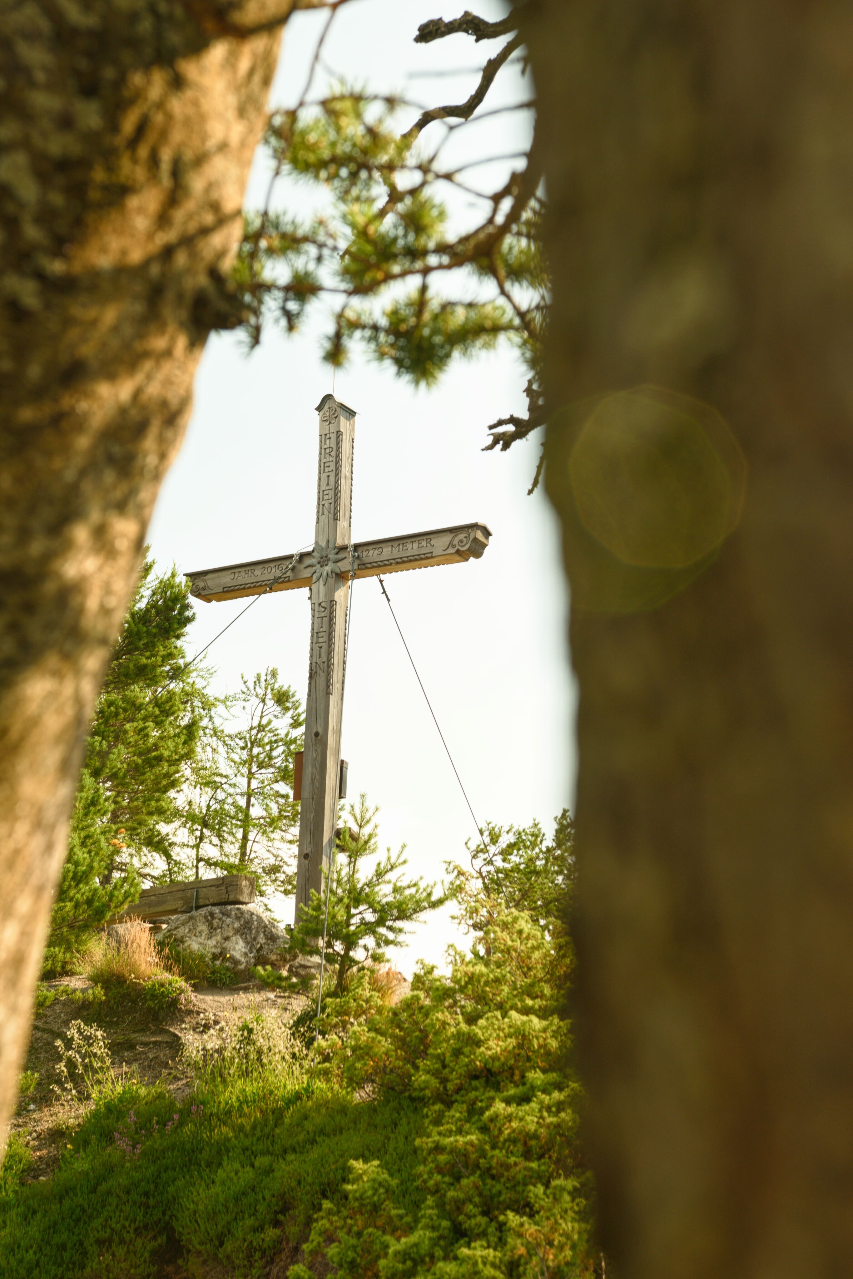
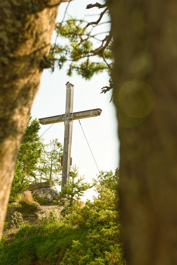
Arriving at the summit cross, continue until reaching Assacherscharte. From there, travel a short distance on the forest path towards Stoderzinken. After a few meters, a path on the right will lead to the forest again (take the second path, no. 90). Follow the path downhill towards Stoderstraße and back again to the starting point.
The tour
Map, elevation profile & further information
At the beginning, Path no. 12 leads through the western part of the adventure park. Then it continues steeply uphill until reaching a wider path. It leads slightly uphill past the Goaßsteig entrance up to the next crossroad. From there, follow path no. 679 on the right towards Freienstein. The path at this level is only suitable for experienced mountain climbers.
Arriving at the summit cross, continue until reaching Assacherscharte. From there, travel a short distance on the forest path towards Stoderzinken. After a few meters, a path on the right will lead to the forest again (take the second path, no. 90). Follow the path downhill towards Stoderstraße and back again to the starting point.
Parking options in front of the beginning of toll road
Changes in the weather, sudden drops in temperature, wind, fog and snowfields are objective hazards and require proper measures when on the go. Hut hosts are experienced mountain experts; they can provide good tips regarding the weather or route. Insufficient equipment, overestimating one’s capabilities, carelessness, poor physical fitness, and misjudgement can lead to critical situations. In case of thunderstorms: Avoid peaks, ridges and safety ropes at all costs.
In case of emergency please dial the following emergency number: no. 140 for Mountain rescue and no. 112 - the European emergency call number
A balaclava, gloves, a good jacket and pair of pants are standard equipment for routes in Alpine terrain. Good water-resistant shoes, sunglasses, solar protection and sufficient drinks are essential. This also includes torches, mapping material, a knife, and a small first aid kit.