Haus-Aich

Stoderzinken 2.048m, Starting Point in Gröbming
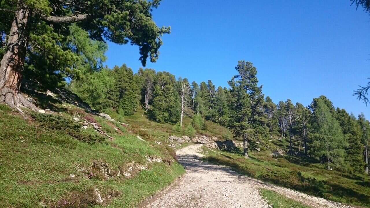
Stoderzinken hiking trail
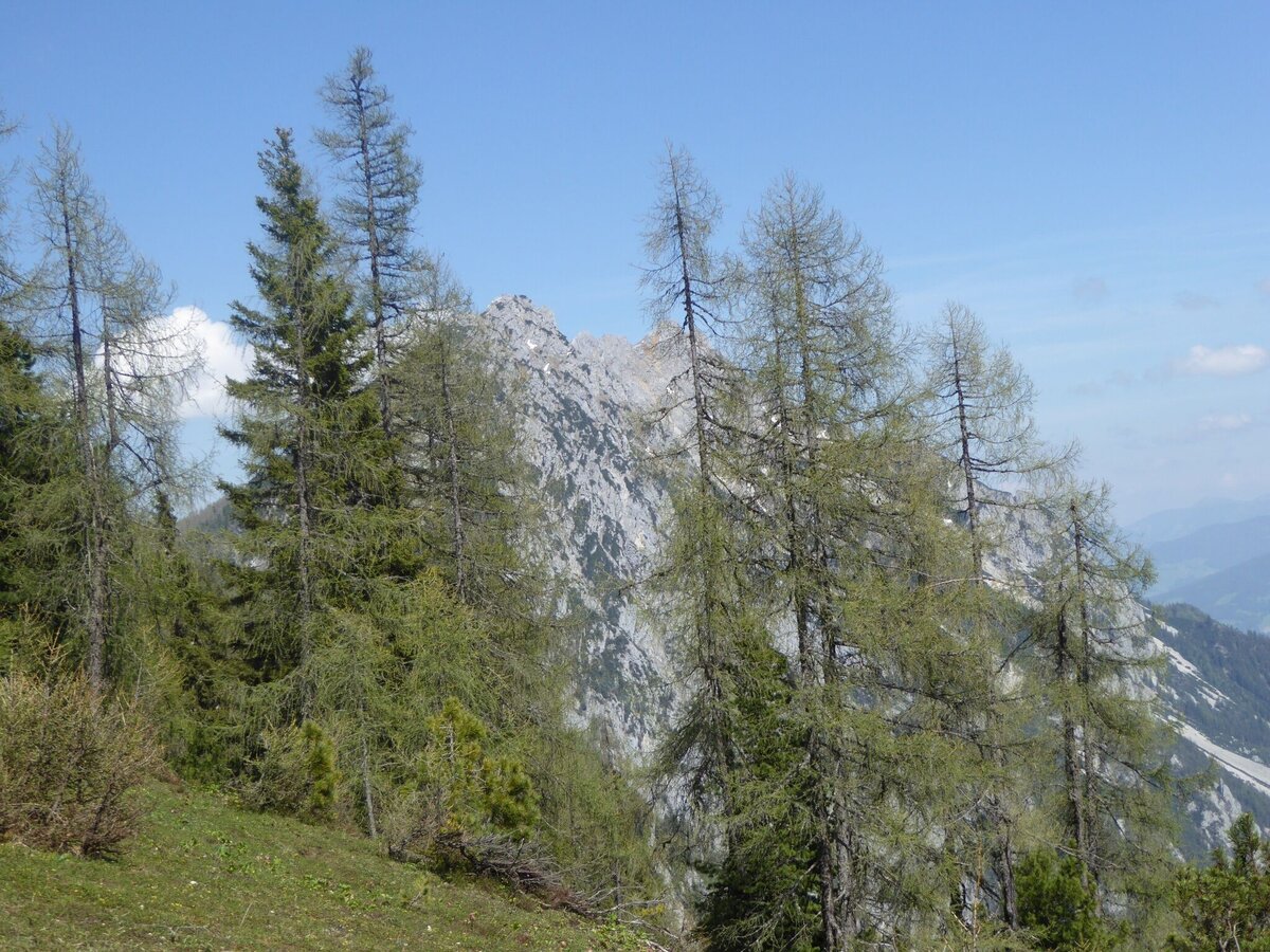
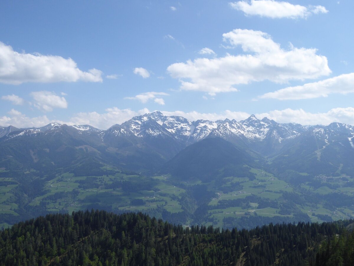
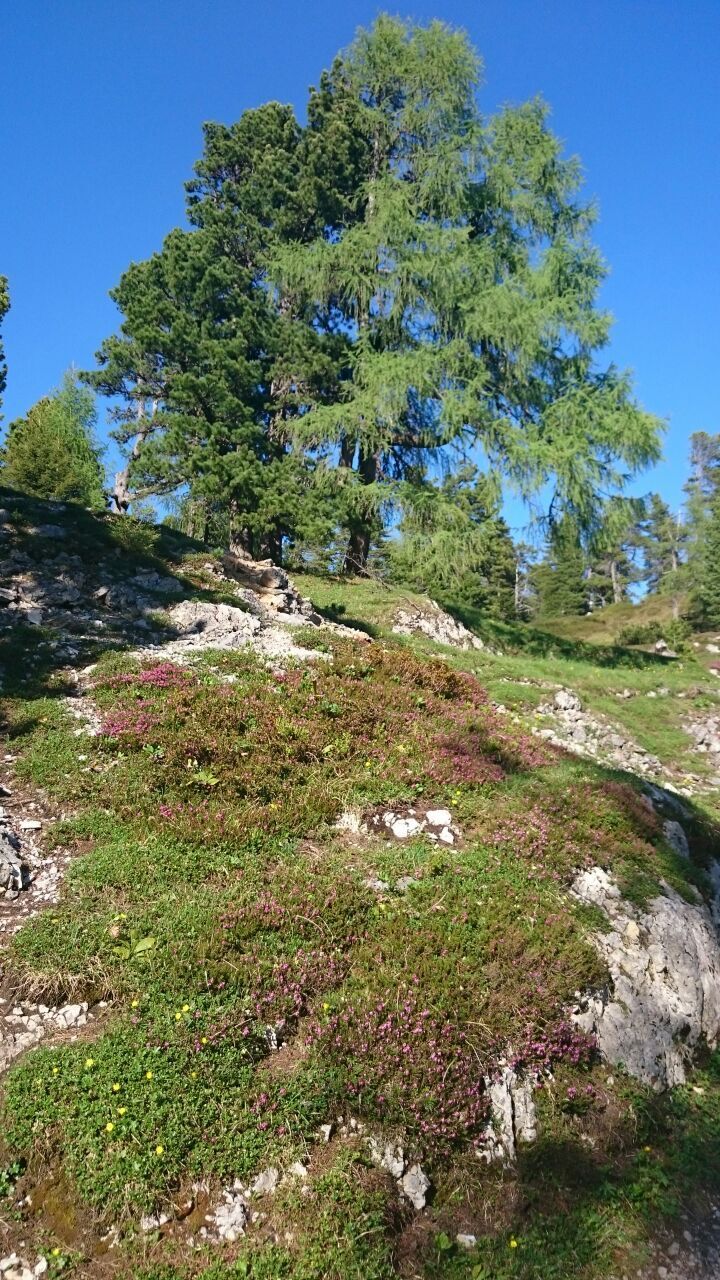
Alpine landscape on the Stoderzinken
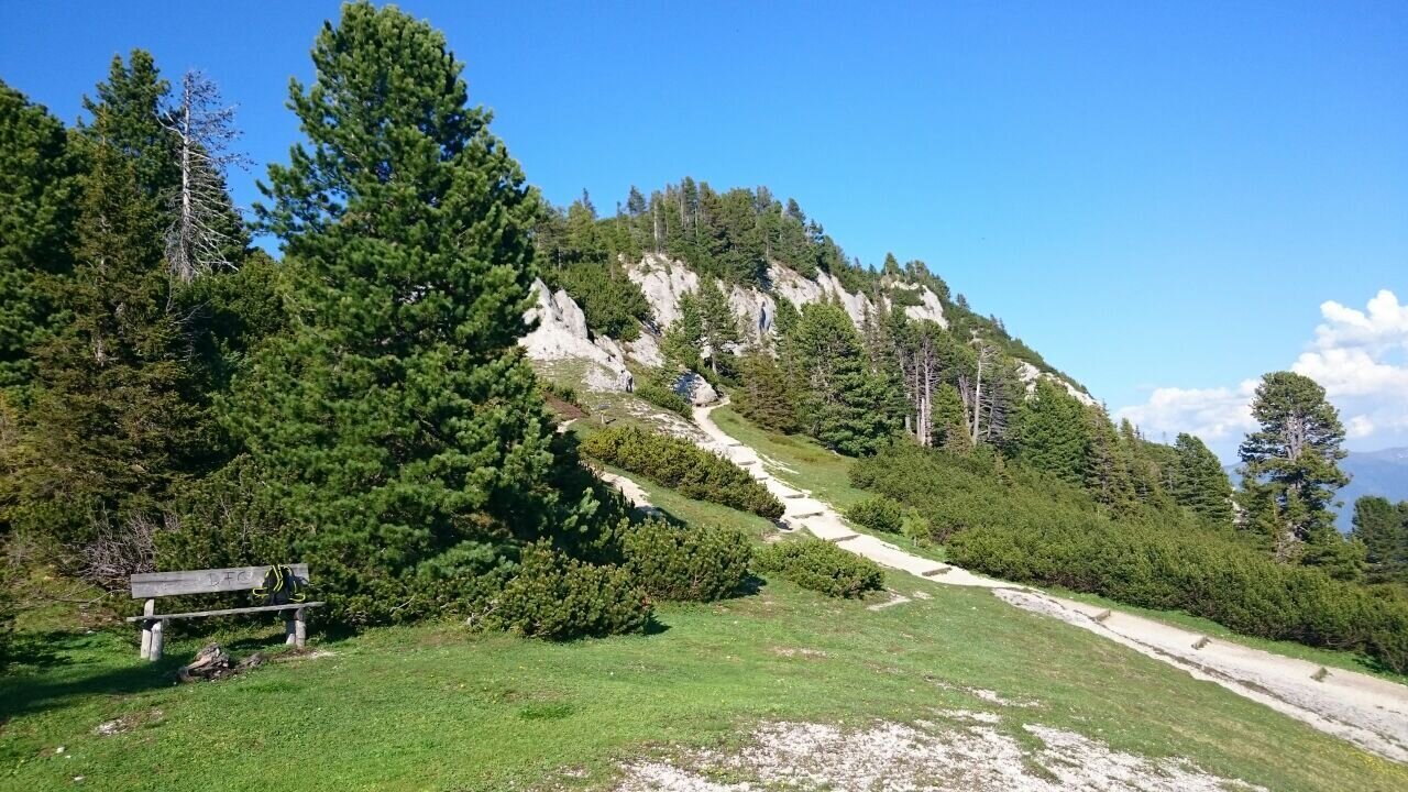
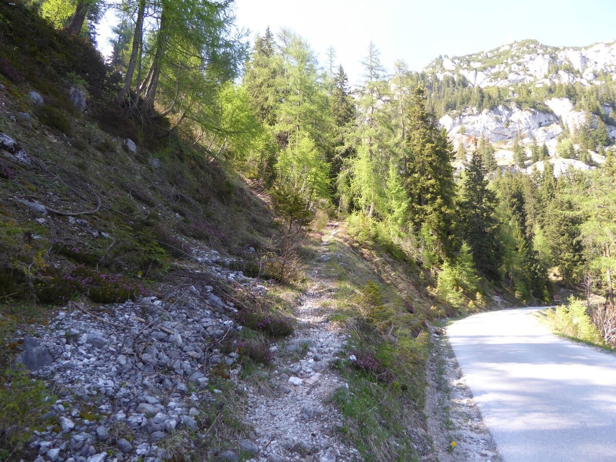
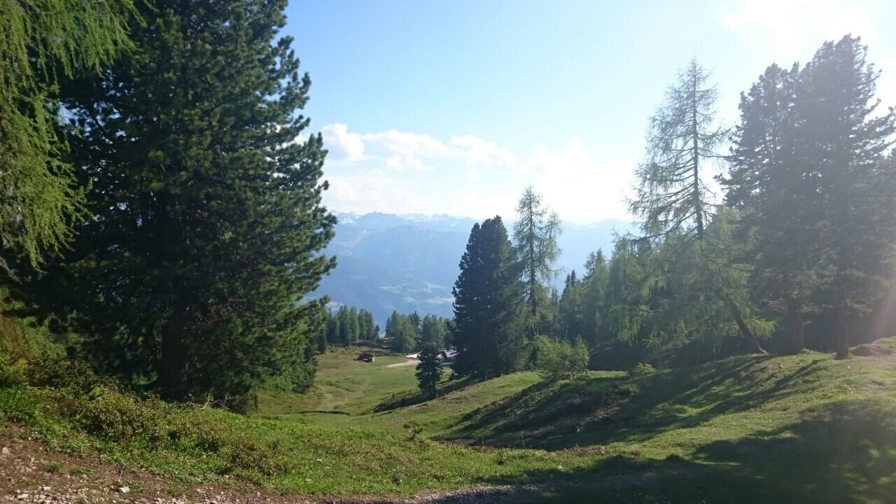
Hiking trail on the Stoderzinken
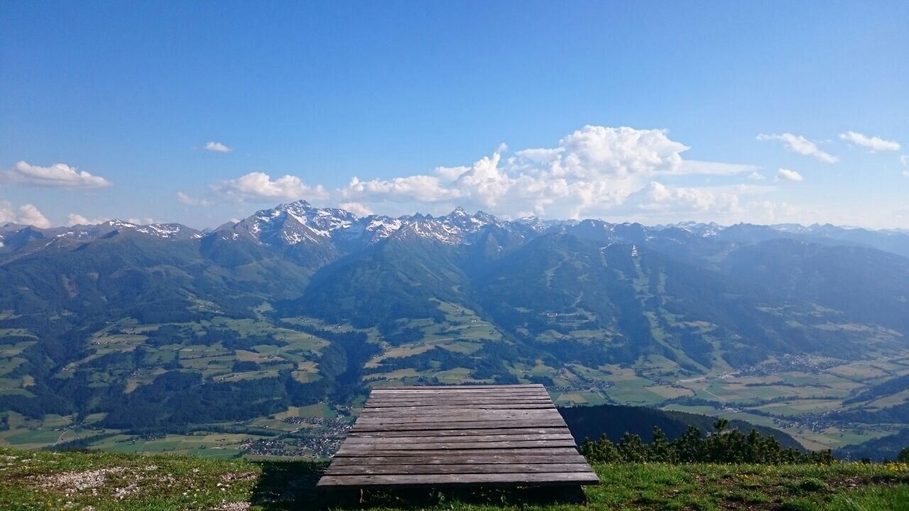
Paragliding launch ramp on the Stoderzinken
Hiking trail on the Stoderzinken
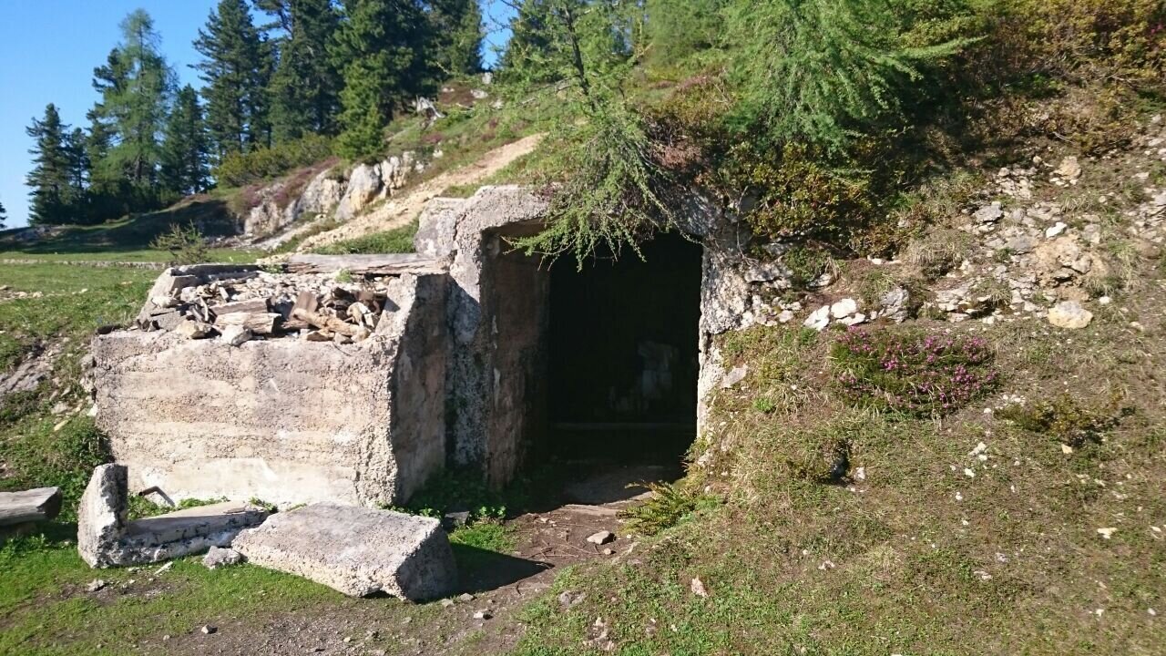
Historical gallery on the Stoderzinken
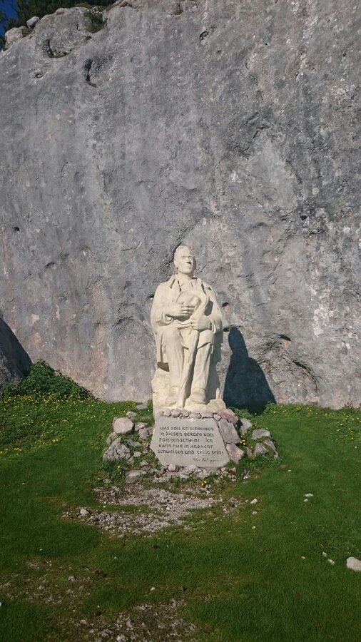
Rosegger Monument on the Stoderzinken
Hiking trail on the Stoderzinken
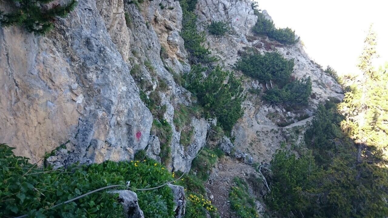
Trail section on the Florasteig
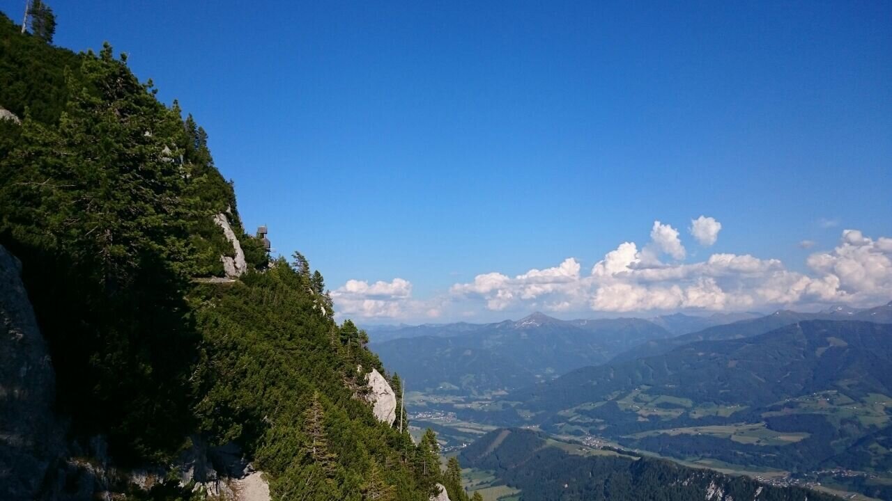
View from the Stoderzinken
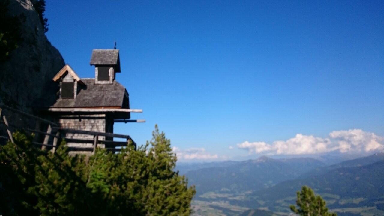
Friedenskircherl at Stoderzinken
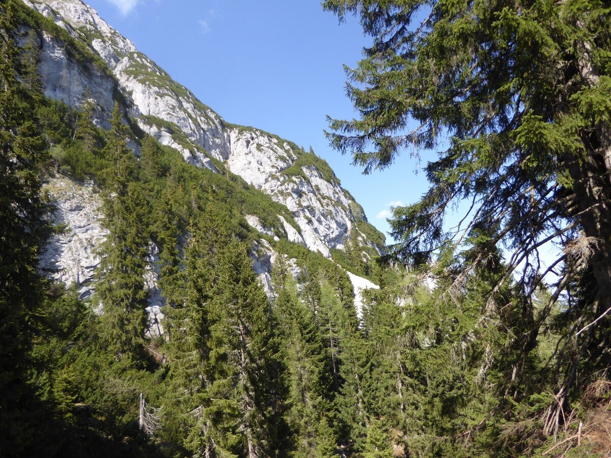
Stoderzinken rock face near Gröbming
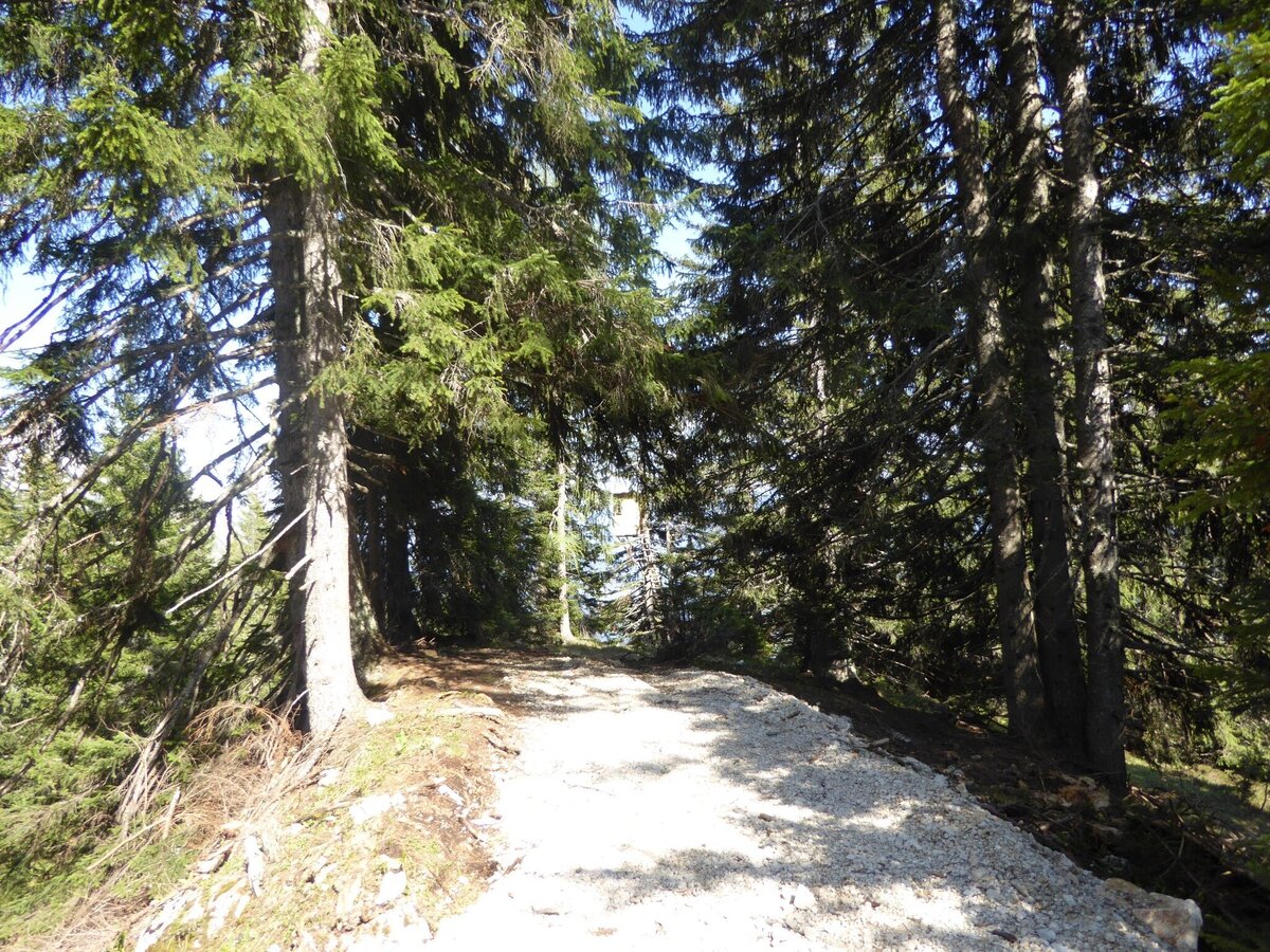
Forest path on the Stoderzinken
Gröbming view from Stoderzinken
Stoderzinken near Gröbming
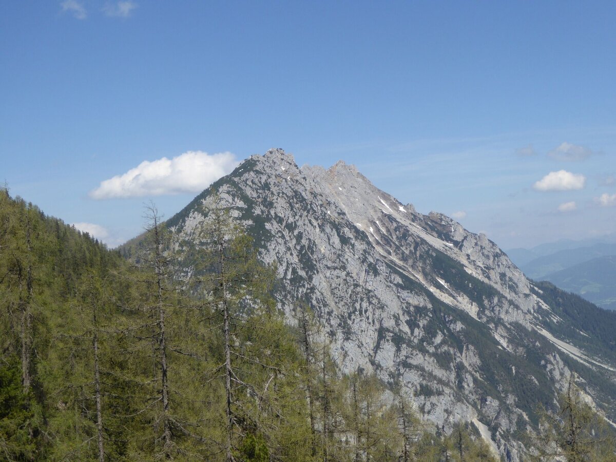
Summit of the Stoderzinken
Hiking trail on the Stoderzinken
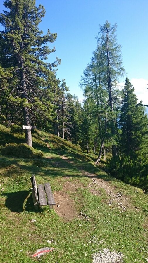
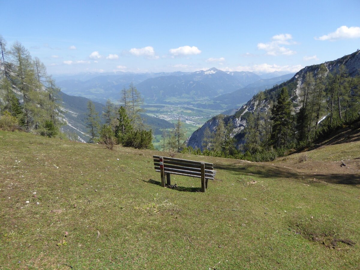
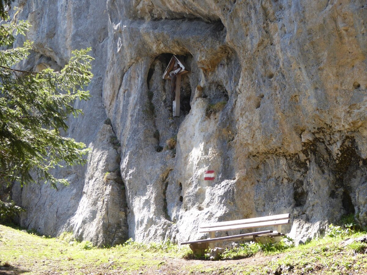
Rest area at Stoderzinken
View from the Stoderzinken
Ascent to the Stoderzinken
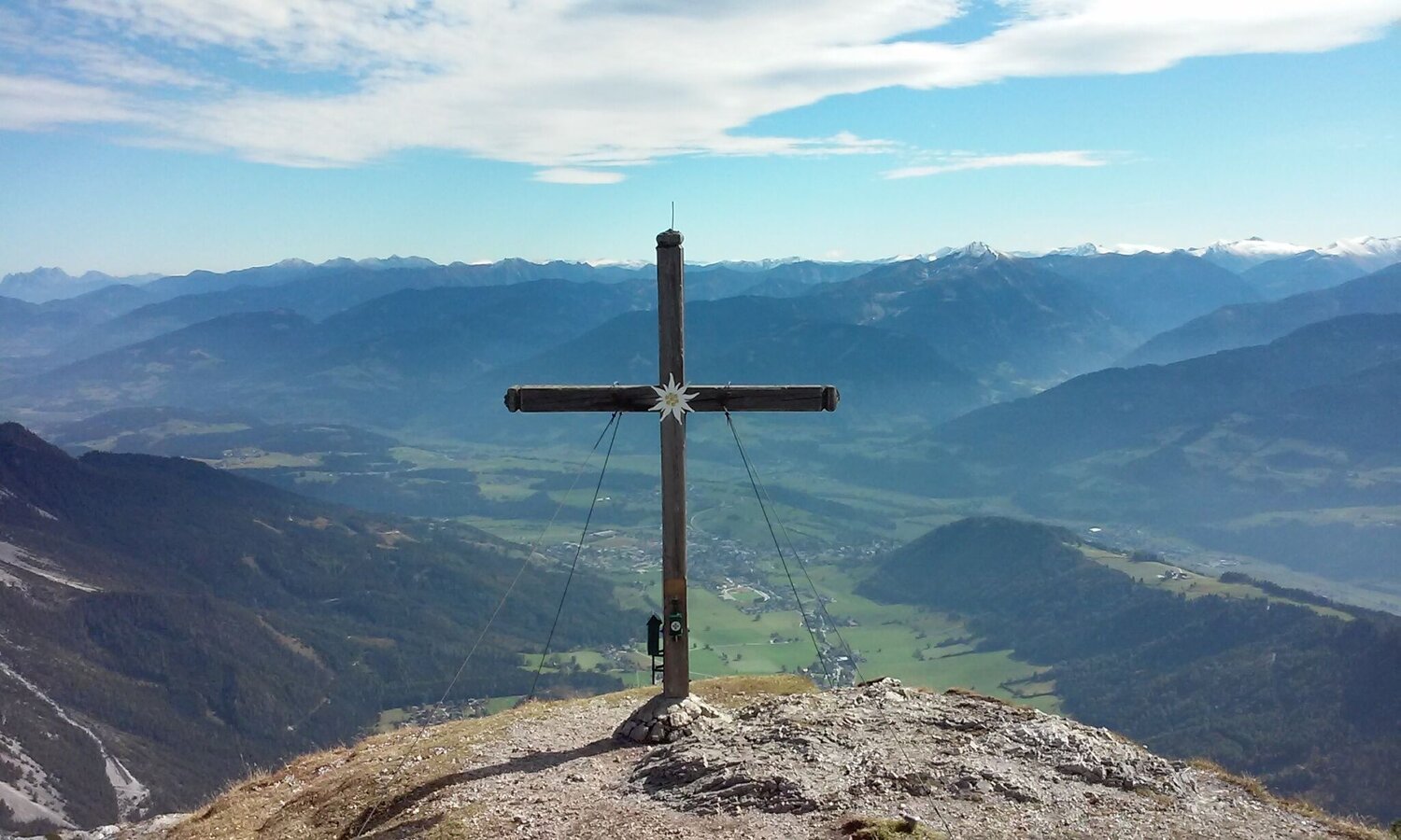
Summit cross on the Stoderzinken
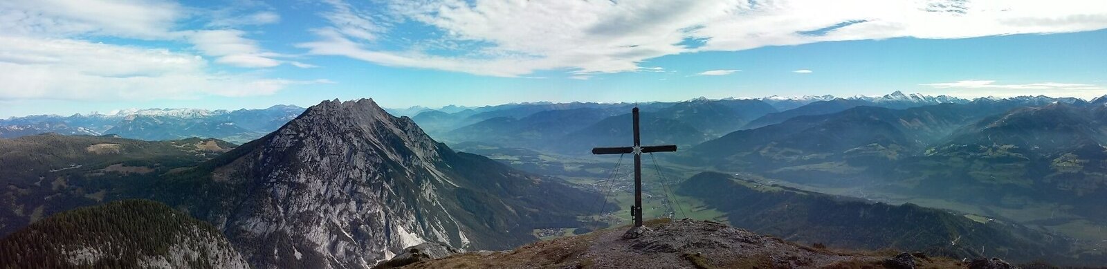
Panoramic view from the Stoderzinken

Tour description

From the adventure park/zipline parking lot, follow the road until reaching Mautschranken. From there, take the right path (no. 679) into the forest along the Düren stream. You will cross the Alpine panorama road three times until reaching the next road junction. There, turn right to path no. 675 (Stöderl).

Continue uphill past Gedankenstrich through the forest and to Steiner Sprung. Cross the street, follow the path to Verlobungskreuz and continue towards Kaiserwand. After 30m, continue right on the old Stoder path until reaching the Stoder cabin.

From there, go slightly uphill until reaching the Rossegger memorial. Here, you will have two options: Continue to the Friedenskircherl and from there, continue to the summit via the Florastieg (Flora Road) or, from the Rossegger memorial), go up through the “Latschenweg” (mountain pine path) to the summit cross where you can enjoy the lovely view from Dachstein to the Grossglockner!!

The tour

moderate
publicly accessible
Starting point Parking - Adventure Park Gröbming
Destination Stoderzinken, 2.048m
Tour characteristics
Distance: 15.9 km
Fitness (5/6)
Skills (3/6)
Information
Distance: 15.9 km
Duration: 7:00 h
Ascent: 1180 m
Descent: 1180 m
highest point: 2048 m
Best season
Jan
Feb
Mar
Apr
May
Jun
Jul
Aug
Sep
Oct
Nov
Dec

Map, elevation profile & further information

From the adventure park/zipline parking lot, follow the road until reaching Mautschranken. From there, take the right path (no. 679) into the forest along the Düren stream. You will cross the Alpine panorama road three times until reaching the next road junction. There, turn right to path no. 675 (Stöderl).

Continue uphill past Gedankenstrich through the forest and to Steiner Sprung. Cross the street, follow the path to Verlobungskreuz and continue towards Kaiserwand. After 30m, continue right on the old Stoder path until reaching the Stoder cabin.

From there, go slightly uphill until reaching the Rossegger memorial. Here, you will have two options: Continue to the Friedenskircherl and from there, continue to the summit via the Florastieg (Flora Road) or, from the Rossegger memorial), go up through the “Latschenweg” (mountain pine path) to the summit cross where you can enjoy the lovely view from Dachstein to the Grossglockner!!

From Gröbming, head towards Stoderzinken until reaching the beginning of the toll road.
At the beginning of the toll road
Changes in the weather, sudden drops in temperature, wind, fog and snowfields are objective hazards and require proper measures when on the go. Hut hosts are experienced mountain experts; they can provide good tips regarding the weather or route. Insufficient equipment, overestimating one’s capabilities, carelessness, poor physical fitness, and misjudgement can lead to critical situations. In case of thunderstorms: Avoid peaks, ridges and safety ropes at all costs.

In case of emergency please dial the following emergency number: no. 140 for Mountain rescue and no. 112 - the European emergency call number

A balaclava, gloves, a good jacket and pair of pants are standard equipment for routes in Alpine terrain. Good water-resistant shoes, sunglasses, solar protection and sufficient drinks are essential. This also includes torches, mapping material, a knife, and a small first aid kit.
From the peak, go back down to the Zipline start and, using Europe’s longest Zipline, zoom back into the valley and to the parking lot!Tour at your own risk! No liability shall be assumed for any existing or occurring Alpine hazards (weather, etc..).

Along the route

Wheather predicition

today
17.10.2026
Mountain 11 °C
Valley 16 °C
Snow
Mountain
0 cm
Valley
0 cm
Wind speed
Nordwest
10 km / h
Precipitation
Probability
15 %
Amount
0 l/m²
Sun
Sun hours
4.2 h
Sunrise
07:26 o clock
Sunset
18:14 o clock

Dry and partly sunny throughout the day, with cloudy periods from time to time.

tomorrow
18.10.2026
Mountain 11 °C
Valley 17 °C
Snow
Mountain
0 cm
Valley
0 cm
Wind speed
Süd
5 km / h
Precipitation
Probability
0 %
Amount
0 l/m²
Sun
Sun hours
5.7 h
Sunrise
07:28 o clock
Sunset
18:12 o clock

Early clouds will clear to leave the region with a dry and sunny day.

day after tomorrow
19.10.2026
Mountain 12 °C
Valley 16 °C
Snow
Mountain
0 cm
Valley
0 cm
Wind speed
Süd
5 km / h
Precipitation
Probability
10 %
Amount
0 l/m²
Sun
Sun hours
9.4 h
Sunrise
07:29 o clock
Sunset
18:10 o clock

Dry and sunny throughout the day with hardly any clouds.

Tours nearby