Haus-Aich

Stoderzinken, 2,048m through Öfen and Rotwandschlag
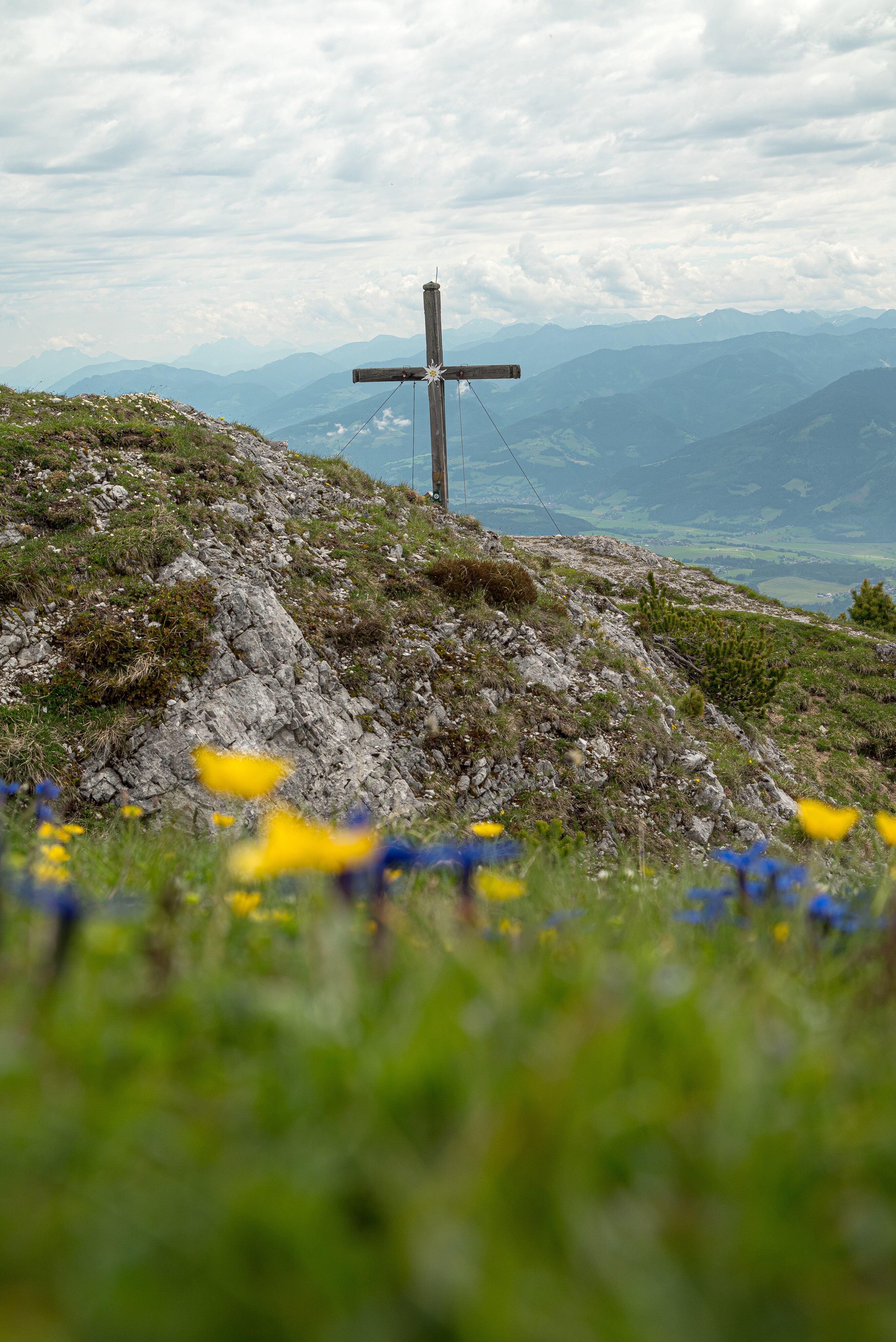
Summit cross on the Stoderzinken
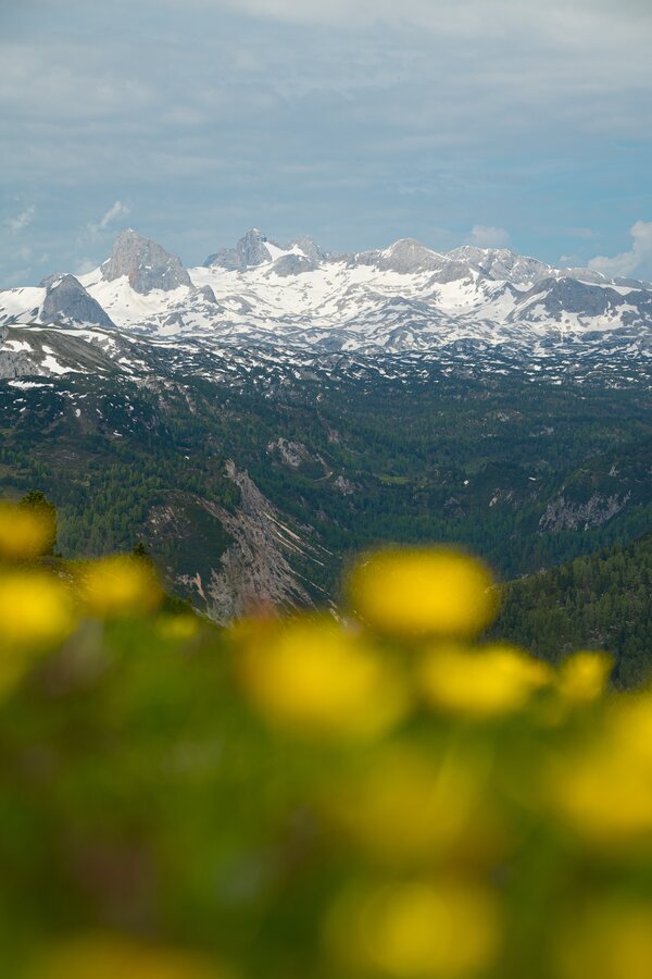
Dachstein Massif from Stoderzinken
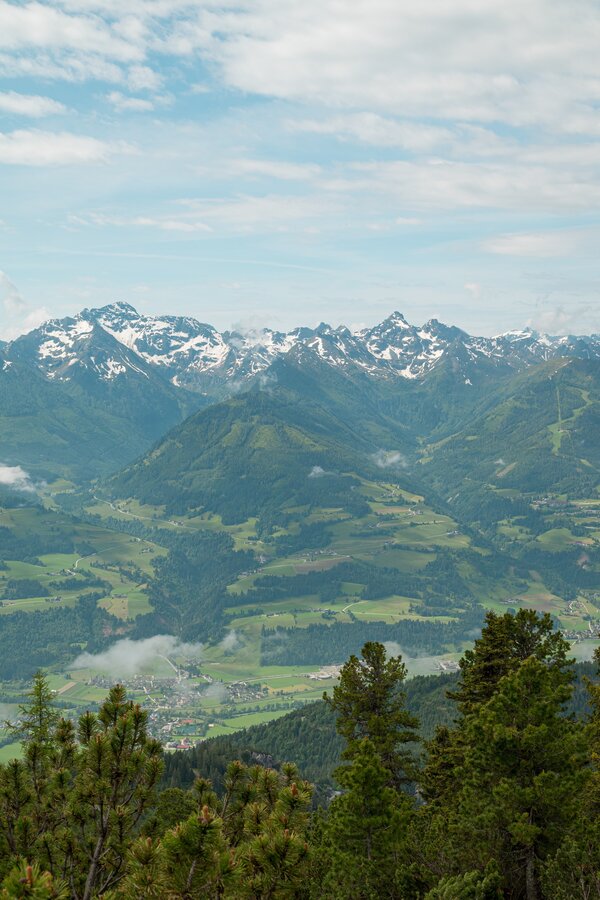
Stoderzinken view into the Ennstal valley
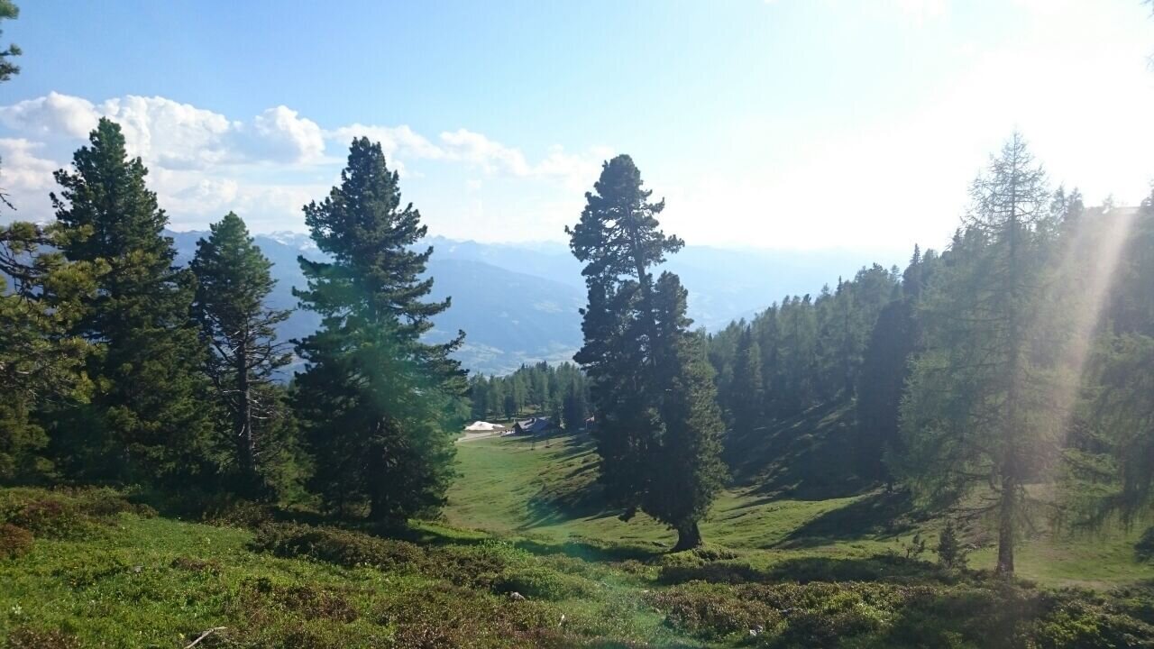
Stoderzinken Almen
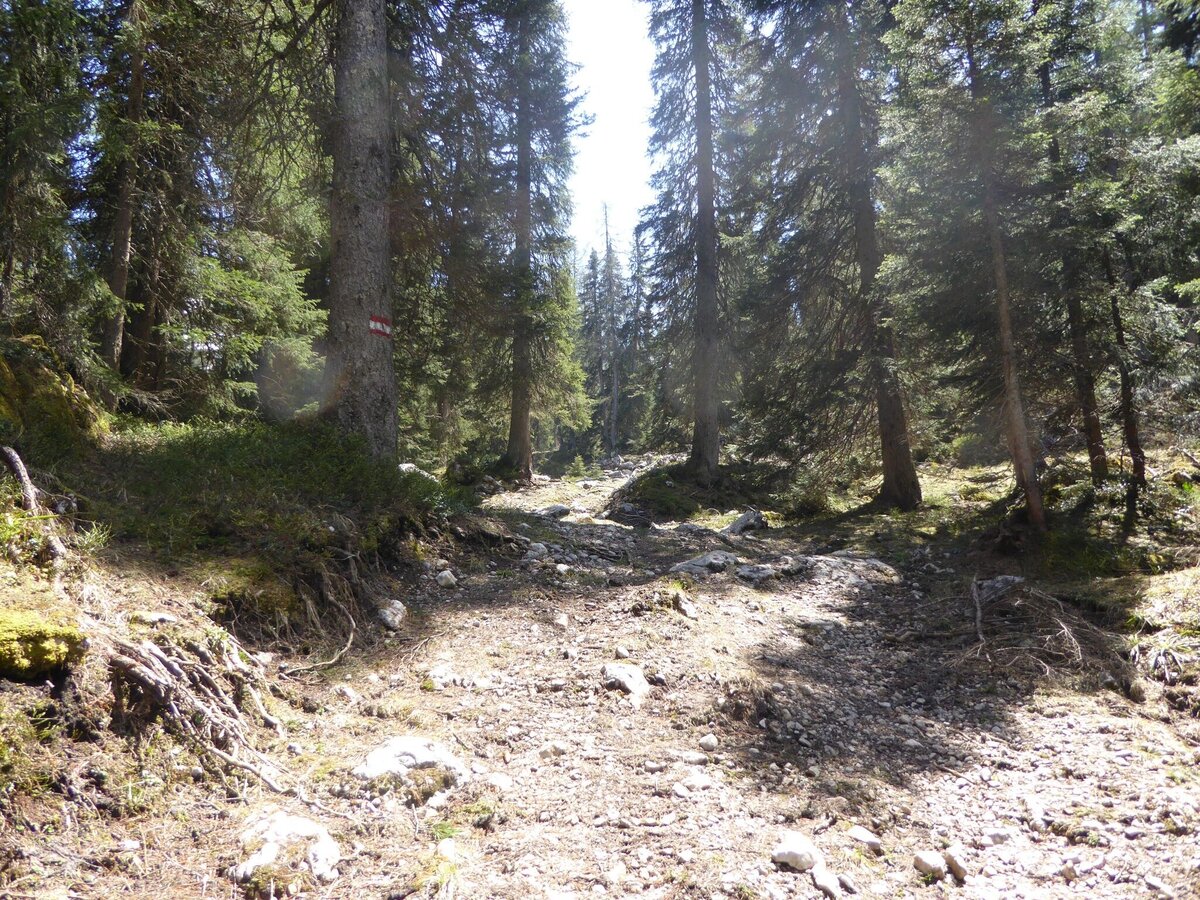
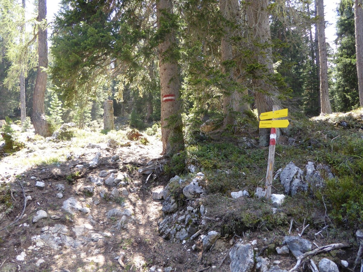
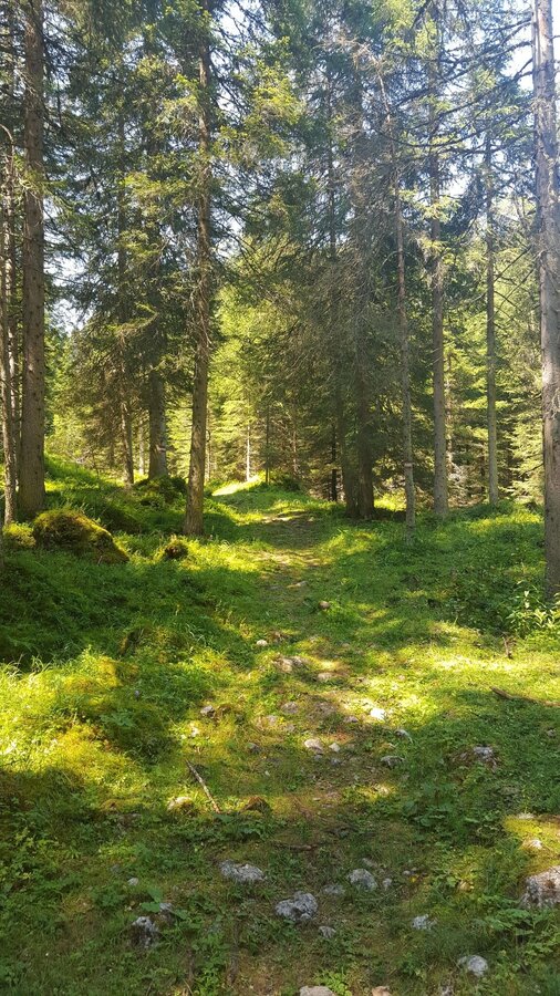
Forest path on the Stoderzinken
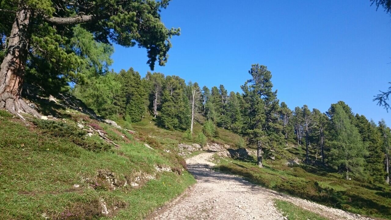
Hiking trail on the Stoderzinken
Signposts at Stoderzinken
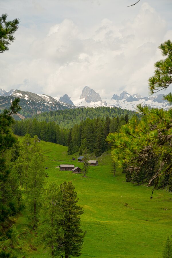
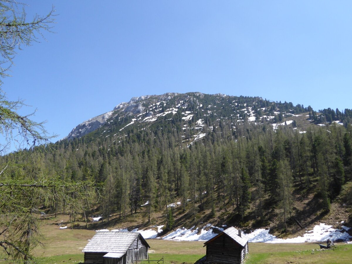
Stoderzinken with alpine huts
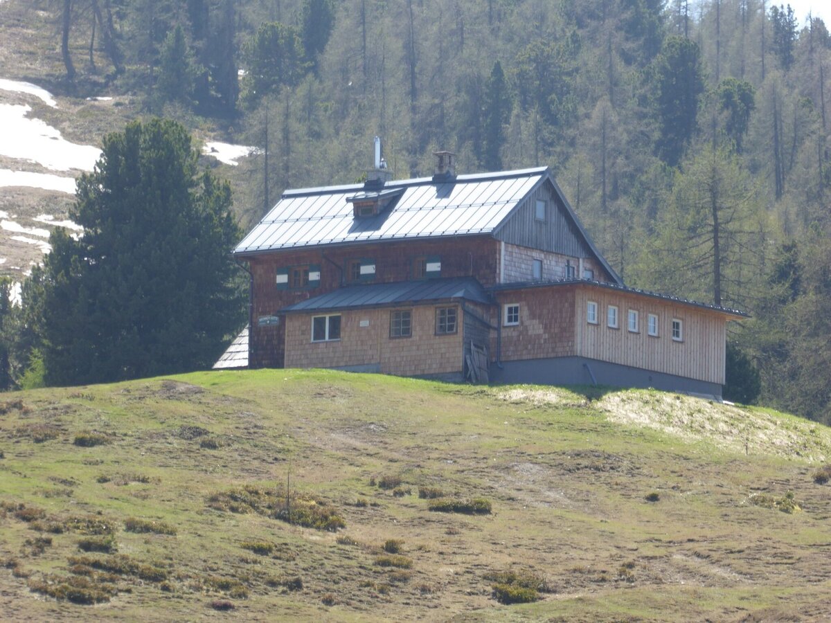
Mountain hut on the Stoderzinken
Alpine terrain on the Stoderzinken
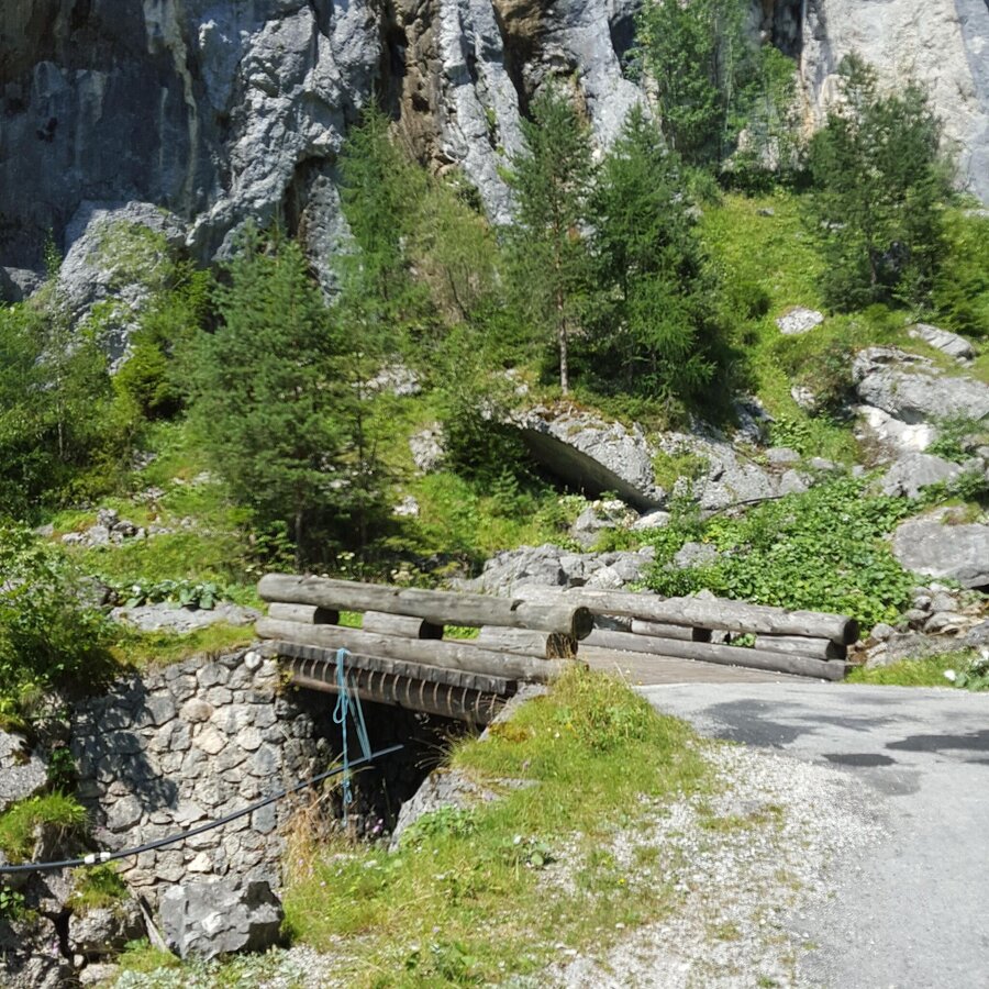
Wooden bridge at Stoderzinken
Hiking trail on the Stoderzinken
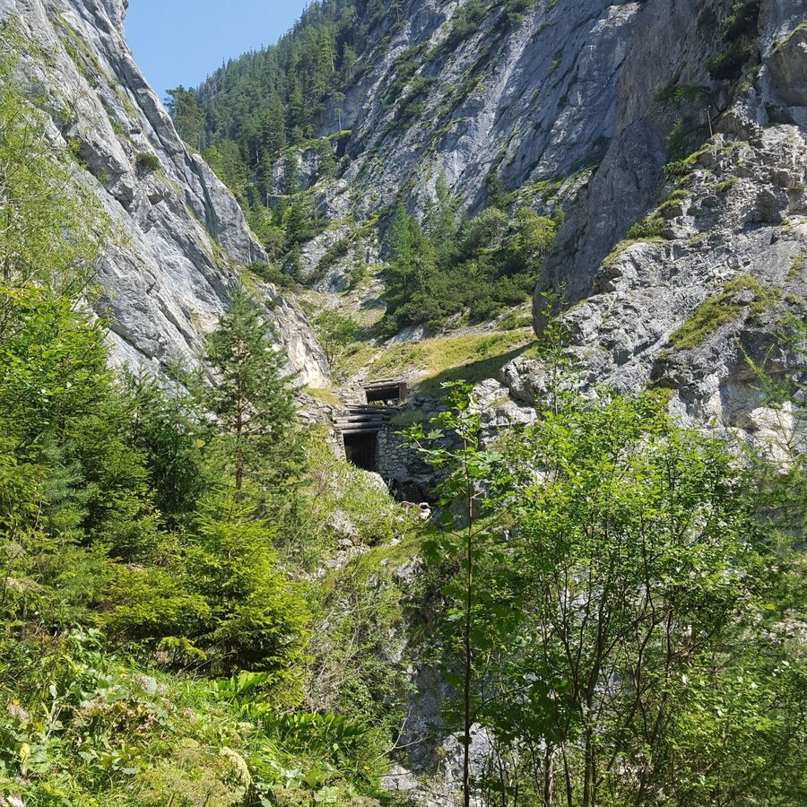
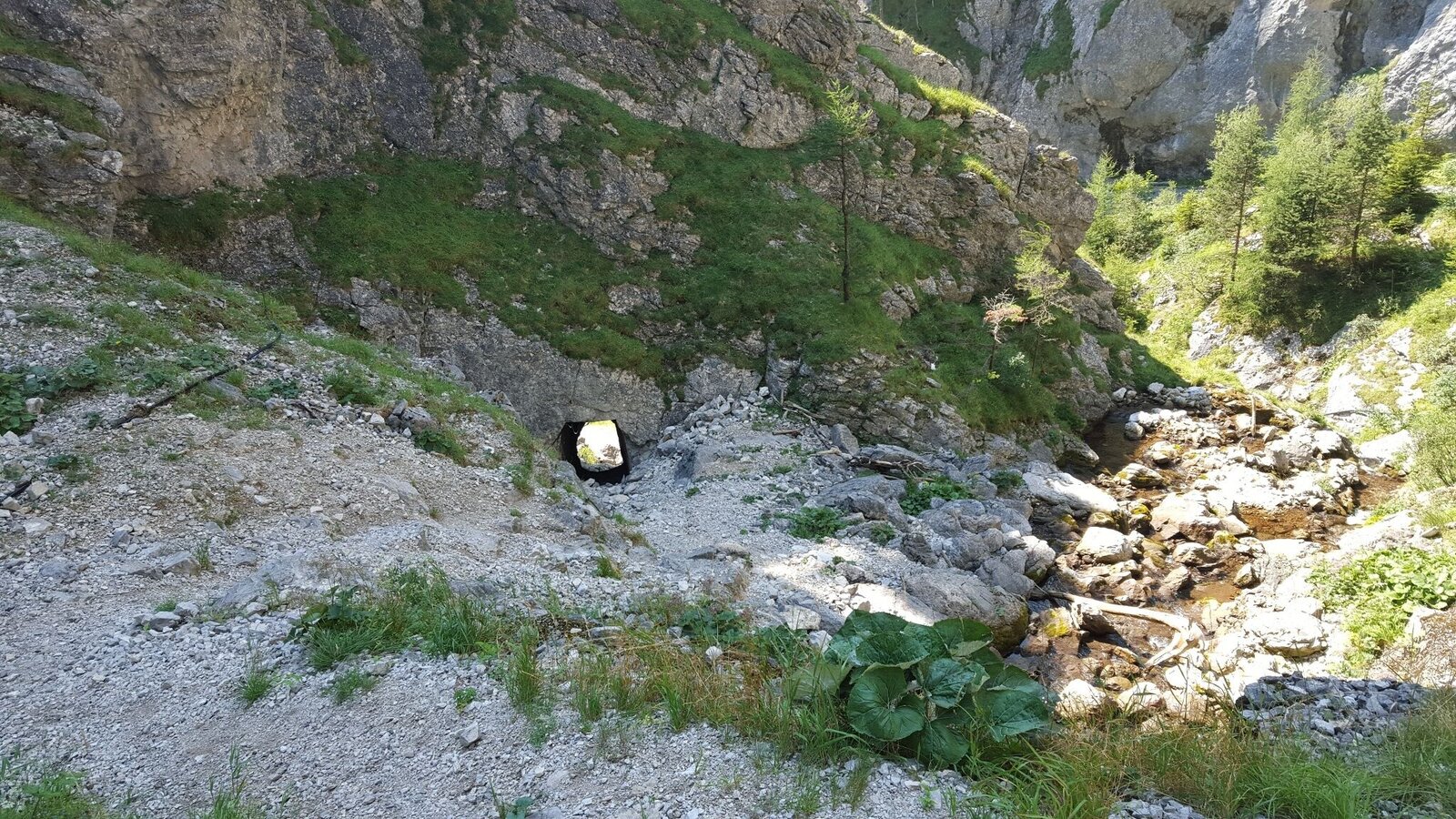
Tunnel entrance at Stoderzinken
Hiking trail on the Stoderzinken
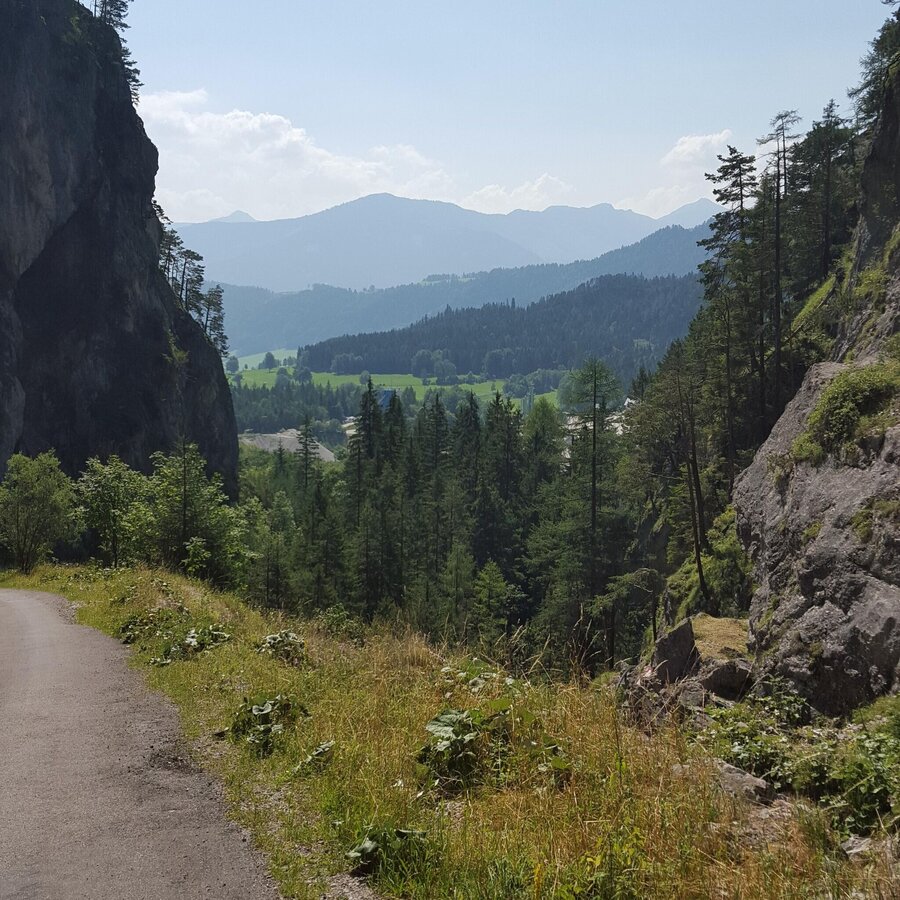
Forest path on the Stoderzinken

Tour description

Follow the path from Lend through the Öfen until reaching the first cattle grid. Afterwards, keep left, passing through multiple steep steps until reaching Stoderalm or the Brünner huts. This is where the ascent to the peak (675) begins, from which you will have a lovely view of the Dachstein, even all the way to the Großglockner. The Hohen and Niedere Tauern in the south and southwest provide a lovely panorama view of our natural landscape.

The tour

moderate
Starting point Lend Kneipp facility, Gröbming-Winkl
Destination Stoderzinken, 2.048m
Tour characteristics
Distance: 8.2 km
Fitness (4/6)
Skills (3/6)
Information
Distance: 8.2 km
Duration: 3:30 h
Ascent: 1150 m
Descent: 330 m
highest point: 2048 m
Best season
Jan
Feb
Mar
Apr
May
Jun
Jul
Aug
Sep
Oct
Nov
Dec

Map, elevation profile & further information

Follow the path from Lend through the Öfen until reaching the first cattle grid. Afterwards, keep left, passing through multiple steep steps until reaching Stoderalm or the Brünner huts. This is where the ascent to the peak (675) begins, from which you will have a lovely view of the Dachstein, even all the way to the Großglockner. The Hohen and Niedere Tauern in the south and southwest provide a lovely panorama view of our natural landscape.
B320, take the Gröbming OST (EAST) or WEST (WEST) exit and at the town centre, continue on Stoderzinkenstraße towards Winkl until reaching the Kneipp facility.
Lend Kneipp facility

Changes in the weather, sudden drops in temperature, wind, fog and snowfields are objective hazards and require proper measures when on the go. Hut hosts are experienced mountain experts; they can provide good tips regarding the weather or route. Insufficient equipment, overestimating one’s capabilities, carelessness, poor physical fitness, and misjudgement can lead to critical situations. In case of thunderstorms: Avoid peaks, ridges and safety ropes at all costs.

In case of emergency please dial the following emergency number: no. 140 for Mountain rescue and no. 112 - the European emergency call number

A hood, gloves, a good jacket and pair of pants are standard equipment for routes in Alpine terrain. Good water-resistant shoes, sunglasses, solar protection and sufficient drinks are essential. This also includes torches, mapping material, a knife, and a small first aid kit.


Make a side trip to the unique Friedenskircherl on the way back.Tour at your own risk! No liability shall be assumed for any existing or occurring Alpine hazards (weather, etc..).

Along the route

Wheather predicition

today
17.10.2026
Mountain 11 °C
Valley 16 °C
Snow
Mountain
0 cm
Valley
0 cm
Wind speed
Nordwest
10 km / h
Precipitation
Probability
15 %
Amount
0 l/m²
Sun
Sun hours
4.2 h
Sunrise
07:26 o clock
Sunset
18:14 o clock

Dry and partly sunny throughout the day, with cloudy periods from time to time.

tomorrow
18.10.2026
Mountain 11 °C
Valley 17 °C
Snow
Mountain
0 cm
Valley
0 cm
Wind speed
Süd
5 km / h
Precipitation
Probability
0 %
Amount
0 l/m²
Sun
Sun hours
5.7 h
Sunrise
07:28 o clock
Sunset
18:12 o clock

Early clouds will clear to leave the region with a dry and sunny day.

day after tomorrow
19.10.2026
Mountain 12 °C
Valley 16 °C
Snow
Mountain
0 cm
Valley
0 cm
Wind speed
Süd
5 km / h
Precipitation
Probability
10 %
Amount
0 l/m²
Sun
Sun hours
9.4 h
Sunrise
07:29 o clock
Sunset
18:10 o clock

Dry and sunny throughout the day with hardly any clouds.

Tours nearby